Pine Mountain Canopy Tour
Environmental tourism opportunities on Pine Mountain in southeastern Kentucky

Introduction
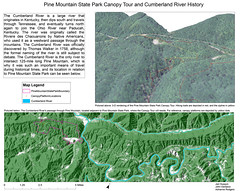
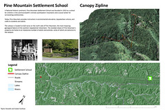
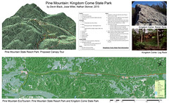
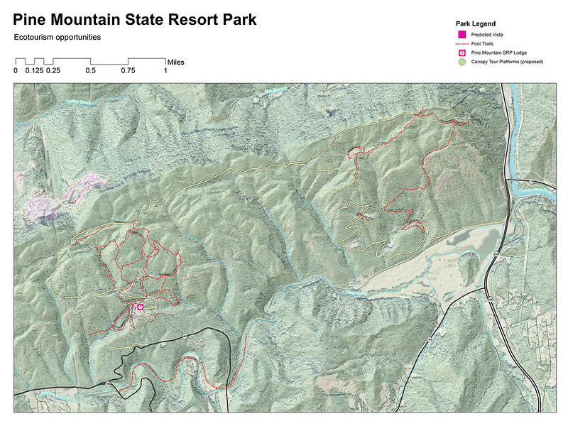
In October 2015 an undergraduate GIS class at the University of Kentucky endeavored to map and analyze environmental tourism assets on Pine Mountain. During discussions with Pine Mountain State Resort Park, we discovered a canopy zipline tour, one of the first in the state, was being installed in the park. We contacted the developer, Burgess Carey, and asked if we could map the canopy zipline course. We participated in a canopy tour at Boone Creek Outdoors to better understand this unique mapping challenge. We subsequently went to Pine Mountain and GPS located the canopy platforms and measured their heights. In the lab we made 3D views with ESRI's ArcScene and mapped nearby recreational assets using ArcMap.
What is a canopy tour?
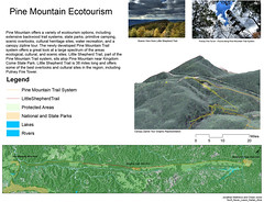
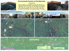
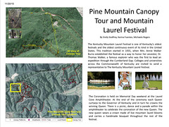
GoPro videos by Allan Speroto, and additional GPS, mapping, and research by Devin Black, Isabel Cochran, Karina Fuentes, John Garlasco, Emily Godfrey, Taylor Howlett, Lee Hudson, Jad Husayni, Chase Jones, Chrystal Long, Jon Matthews, Josie Miller, Adrianne Rogers, Michaela Rogers, Nathan SkinnerStudent maps showing 3D canopy tour and other recreational resources on Pine Mountain
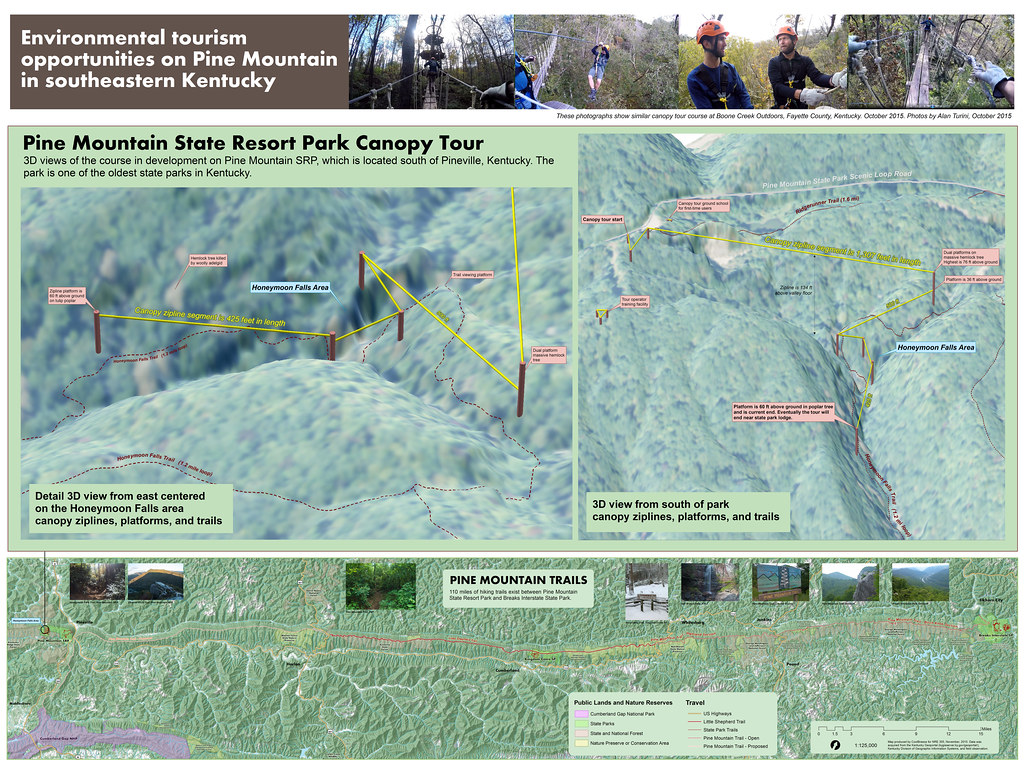
Scenic Overlook Analysis
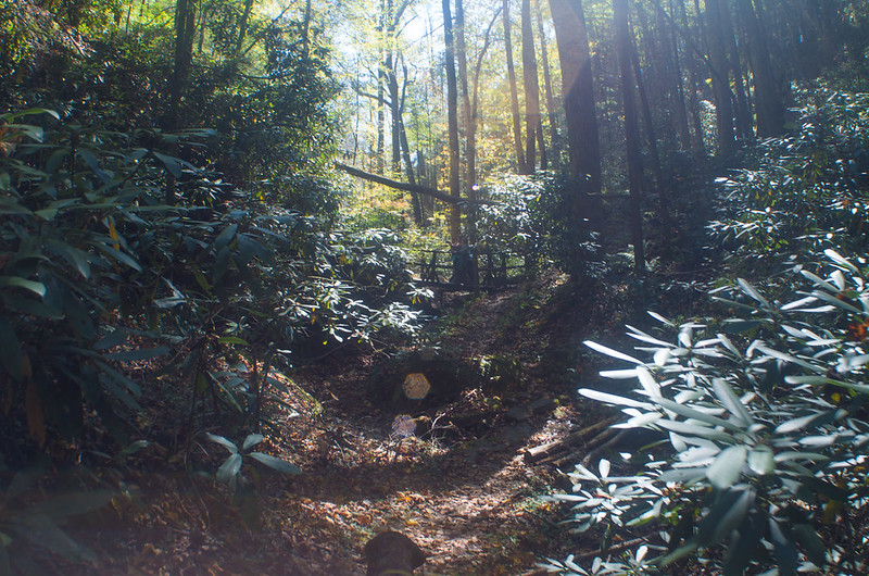
Photographs from October 17-18 field trip