3D Views of Pilot Knob State Nature Preserve
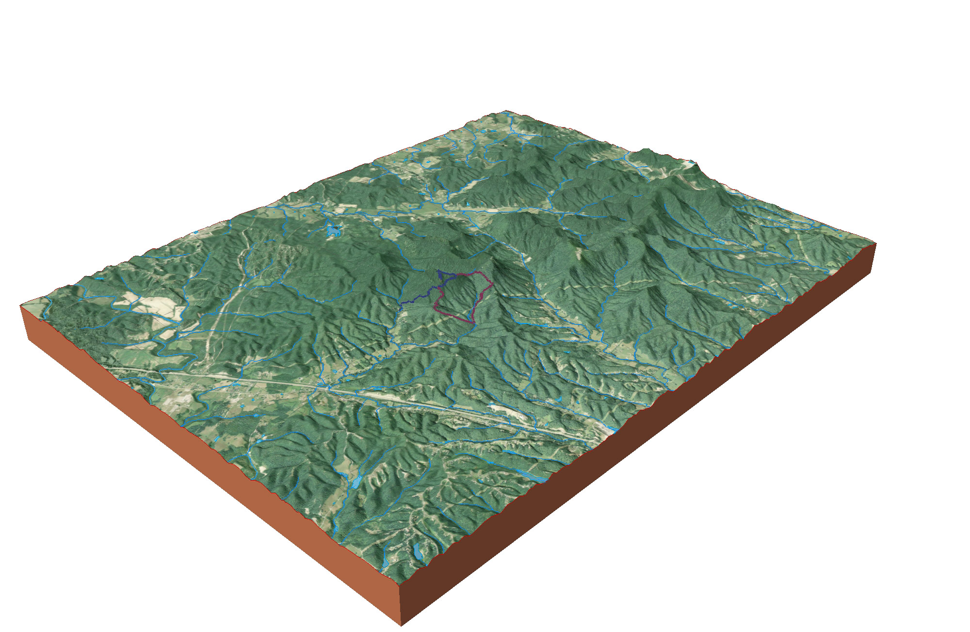
A distant view of the Pilot Knob SNP area
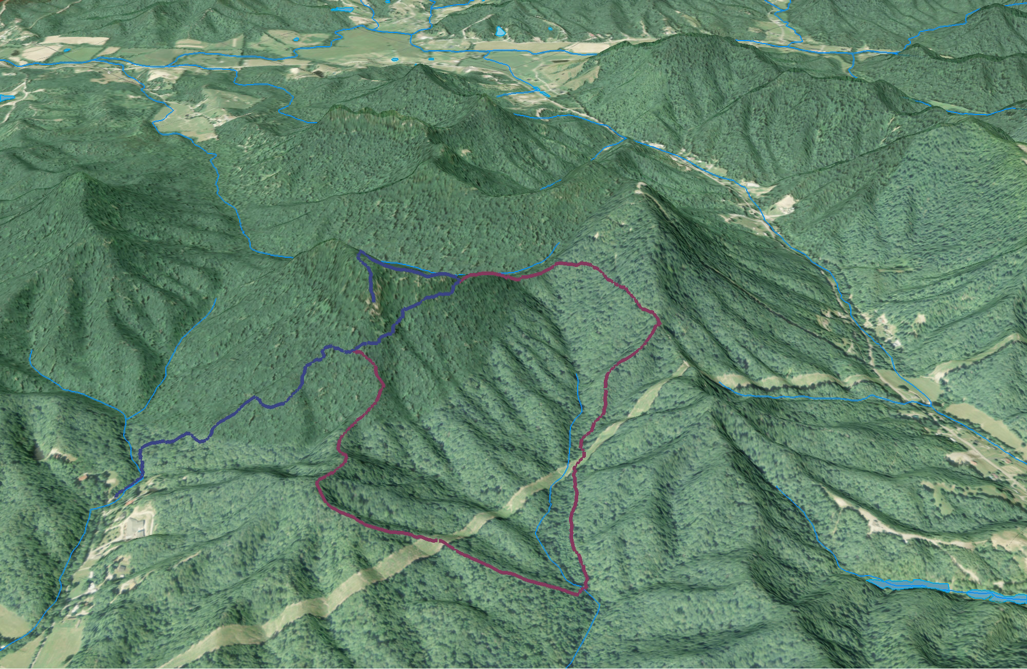
A view of the Pilot Knob SNP Overlook Trail and Sage Point Trail

Elevation profile of the Overlook Trail
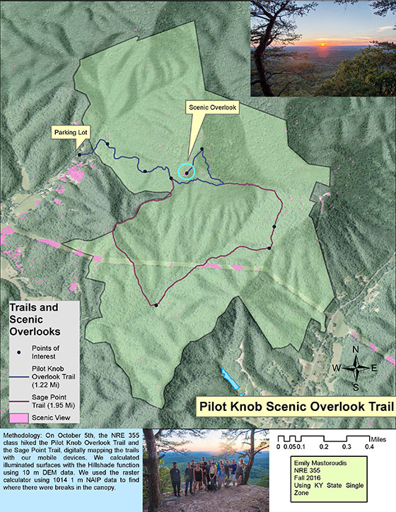
Trail statistics: The Overlook Trail is 1.22 miles in length with an average slope of of approximately 9°. The highest slope is 40°. The elevation relief is approximately 650 feet.
A rendered animation of the Pilot Knob area
An interactive map of Pilot Knob Overlook Trail and Sage Point Trail at the Pilot Knob State Nature Preserve
Mapping Project Information
NRE 355 Students visited the Pilot Knob State Nature Preserve on September 21, 2016 and used mobile devices to collect GPS data of an overlook trail. The students mapped about 3.2 miles of trail and used ArcGIS to create a 2D map and 3D visualization of the nature preserve, and CARTO maps to create interactive visualizations.


Page created by Emily Mastoroudis, November 28, 2016, an introduction to GIS analysis for University of Kentucky Natural Resources and Environmental Sciences program.