3D Views of Pilot Knob State Nature Preserve
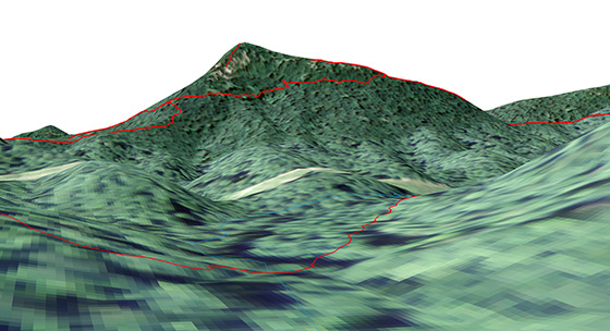
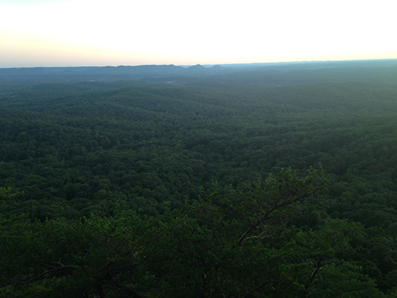
A ground view of the Pilot Knob SNP area
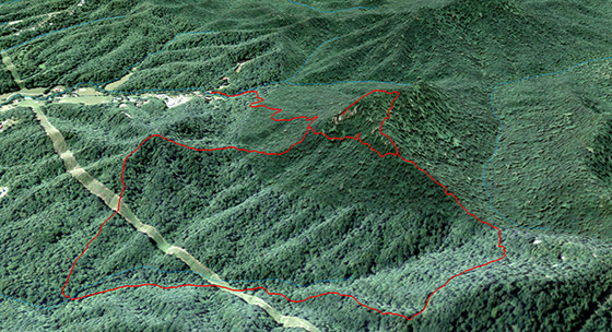
A view of the Pilot Knob SNP Overlook Trail
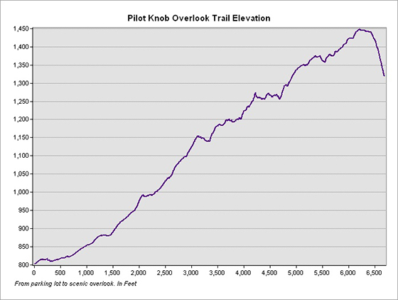
Elevation profile of the Overlook Trail
Trail statistics: The Overlook Trail is 1.22 miles in length with an average slope of of approximately 9°. The highest slope is 40°. The elevation relief is approximately 650 feet.
A rendered animation of the Pilot Knob area
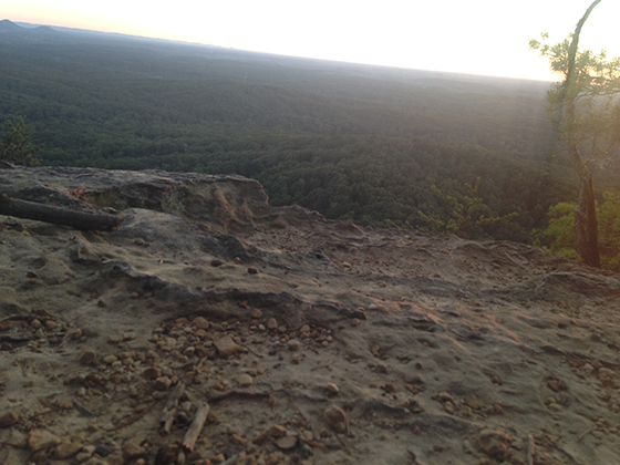
Scenic views from the top of Pilot Knob
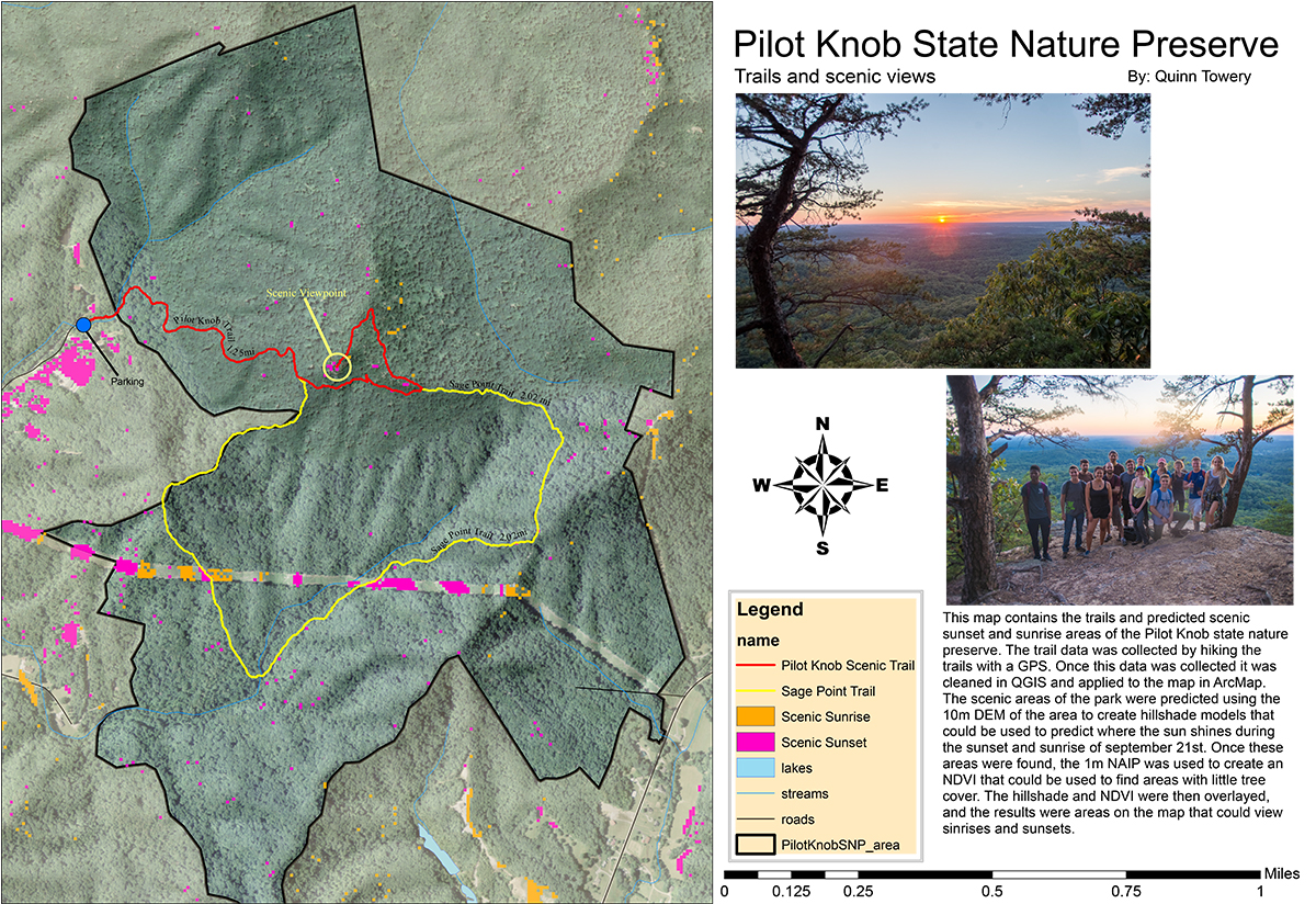
Mapping Project Information
Page created by Quinn Towery, November 14, 2016, for NRE 355, an introduction to GIS analysis at the University of Kentucky CAFE Natural Resources and Environmental Sciences program. I visited the Pilot Knob State Nature Preserve on September 21, 2016 and collected GPS data for the existing trail network using my phone. I used ArcGIS to create a 2D map and 3D visualization of the nature preserve containing the 3.2 miles of trail data that I collected.