Mapping Project Information
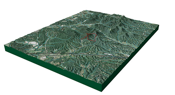
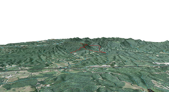
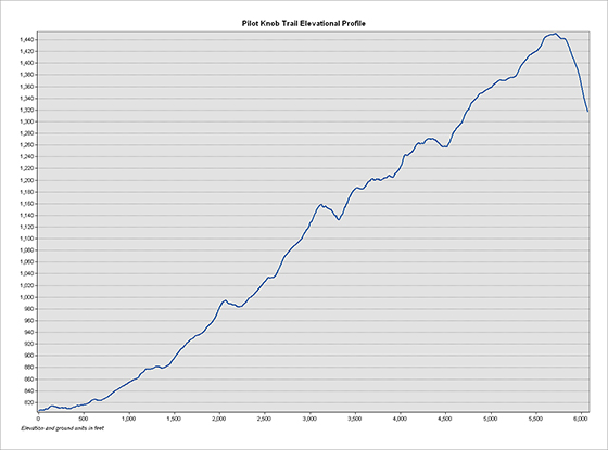
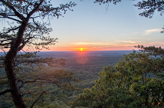
Page created by Tosho Olowoye, November 12, 2016, for NRE 355, On September 21, A bunch of UK students hiked Pilot Knobs and tracked a trailed using Avenza PDF maps. We then used that data on Arcmap to map out the trail of Pilot Knob, we isolated abiotic factor like canopy and scenic areas. The trail was then made into a 3D copy using Arcscene and footage of that trail was used to make a Youtube video. We then used Carto to make an online map by exoprting the original trail data as shapefiles and then uploading them into Carto. We then constructed a website to compile our information and display our findings